Rongai Route Kilimanjaro Altitude
Rongai Route Kilimanjaro Altitude Profile
The Rongai Route is the only route that approaches Mount Kilimanjaro from the northern side near the Kenyan border. It is known for being quieter and less crowded than other Kilimanjaro routes. The Rongai Route is considered one of the easier routes in terms of gradient, with a gradual ascent that allows climbers to acclimatize well. Most treks take 6–7 days and reach the summit at Uhuru Peak, the highest point in Africa.
Below is the typical altitude profile for the Rongai Route.
Day 1: Rongai Gate to Simba Camp
- Starting point: Rongai Gate – 1,950 m (6,398 ft)
- Camp altitude: Simba Camp – 2,625 m (8,612 ft)
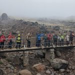
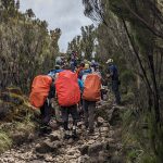
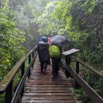
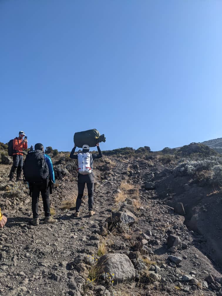
The trek begins on the northern slopes of Kilimanjaro, passing through farmland and forest areas. Wildlife sightings such as colobus monkeys and antelope are sometimes possible.
Day 2: Simba Camp to Second Cave Camp
- Start altitude: 2,625 m (8,612 ft)
- Camp altitude: Second Cave Camp – 3,450 m (11,319 ft)
The trail climbs gradually through moorland with expansive views across the plains toward Kenya. Vegetation becomes smaller as altitude increases.
Day 3: Second Cave Camp to Kikelewa Camp
- Start altitude: 3,450 m (11,319 ft)
- Camp altitude: Kikelewa Camp – 3,600 m (11,811 ft)
This section becomes steeper but remains manageable. The scenery becomes more rugged, and the views of the mountain become more dramatic.
Day 4: Kikelewa Camp to Mawenzi Tarn Camp
- Start altitude: 3,600 m (11,811 ft)
- Camp altitude: Mawenzi Tarn Camp – 4,330 m (14,206 ft)
This is a relatively short hike that allows extra time for acclimatization. Mawenzi Tarn Camp sits beneath the towering cliffs of Mawenzi Peak, offering spectacular views.
Day 5: Mawenzi Tarn Camp to Kibo Hut
- Start altitude: 4,330 m (14,206 ft)
- Camp altitude: Kibo Hut – 4,700 m (15,420 ft)
The route crosses the alpine desert zone known as the “Saddle,” a wide valley between the peaks of Kibo and Mawenzi. Climbers rest early at Kibo Hut before the summit attempt.
Day 6: Summit Day – Uhuru Peak
- Start altitude: 4,700 m (15,420 ft)
- Gilman’s Point – 5,685 m (18,652 ft)
- Uhuru Peak – 5,895 m (19,341 ft)
The summit attempt begins around midnight. Climbers ascend slowly to Gilman’s Point on the crater rim and then continue to Uhuru Peak, the highest point on Mount Kilimanjaro. After reaching the summit, climbers descend to a lower camp for rest.
Why Choose the Rongai Route?
The Rongai Route is popular for several reasons:
- Less crowded compared to southern routes
- Gradual ascent, making it suitable for acclimatization
- Dryer climate on the northern side of Kilimanjaro
- Unique views of the Kenyan plains
It is also one of the better routes during the rainy season because the northern slopes receive less rainfall.
Final Tip
Although the Rongai Route is considered one of the easier Kilimanjaro routes, altitude remains the biggest challenge. To increase your chances of success:
- Walk slowly (“pole pole”)
- Stay hydrated
- Choose a 7-day itinerary if possible
With its quieter trails and beautiful scenery, the Rongai Route offers a peaceful and rewarding journey to the summit of Mount Kilimanjaro.