Kilimanjaro Route Map and Selection
Which Approach is Better for Climbing Kilimanjaro? Kilimanjaro Route Map
In this Blog, Kilimanjaro Lifetime Adventures is describing Kilimanjaro Route Map and Route selection when planning for Kilimanjaro hiking. We give you a guide on Kilimanjaro hiking map and recommended Kilimanjaro hiking routes.
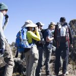
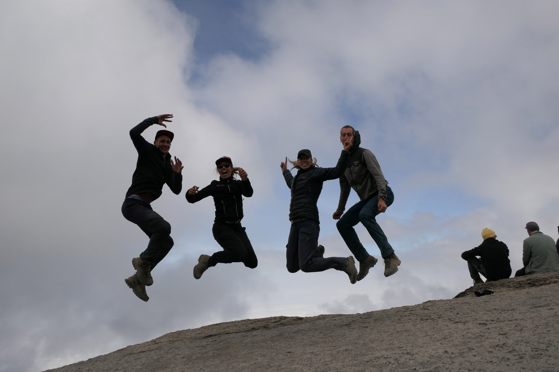
The direction you approach the mountain will affect the scenery.
First, we have to discuss the geology. Mount Kilimanjaro is a dormant volcano, or rather a series of three volcanoes – Shira, Mawenzi, and Kibo. These volcanoes began to form during the creation of the Great Rift Valley around a million years ago.
 What are the Most Popular Routes for Climbing Kilimanjaro?
It is estimated that:
- 41% of climbers use the Machame route.
- 40% of climbers use the Marangu route.
- 12% of climbers use the Lemosho route.
- 6% of climbers use the Rongai route.
- 1% of climbers use the Northern Circuit route
- 0% of climbers use the Shira route.
- 0% of climbers use the Umbwe route.
What Kilimanjaro Routes Do You Recommend?
While most companies had guided exclusively on Machame and Marangu in the past, we have always steered away from these trails. We preferred routes with the most favorable combination of high success rates, excellent scenery, and low foot traffic.
We guided primarily on, Machame,Lemosho, Marangu then later Northern Circuit. These are our four current favorite routes and we highly recommend using one of these for your climb. These are the best Kilimanjaro routes.
Kilimanjaro Lifetime Adventure clients use Lemosho (63%), Machame (17%) Northern (16%), Marangu (7%) and Rongai (1%),(More info on Kilimanjaro hiking routes, click here
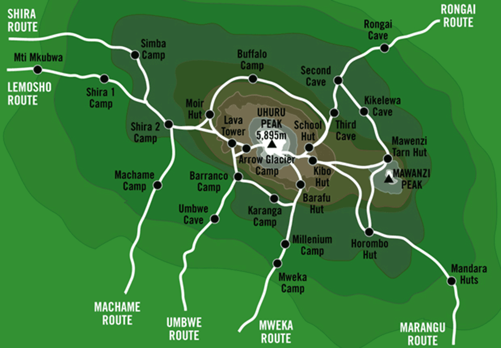
What are the Biggest Differences Between the Routes?
Marangu Route (GOOD ROUTE): Popular tourist route. Approaches from southeast. Easy, gentle gradients. Beautiful rain forest section and moorlands. Comfortable but basic hut shelter. Good choice during rainy season. Poor acclimatization profile. Less scenic due to descent on same trail. 82 km, 5-6 days.
Machame Route (RECOMMENDED ROUTE): Most popular route. Approaches from south. Short access drive to trailhead. Very scenic route with southern traverse. Difficult up/down path, but very good for acclimatization. Best short route. Camping. 62 km, 6-7 days.
Rongai Route (GOOD ROUTE): Long access drive to trailhead. Approaches from north. Remote, less frequented. Easy, gentle gradients. Preferred alternative to Marangu. Beautiful alpine desert section. Good during rainy season. Camping. Fair acclimatization profile. 79 kms, 6-7 days.
Lemosho Route (RECOMMENDED): Long access drive to trailhead. Approaches from west. Remote, less frequented. Beautiful heath section. Very scenic with southern traverse. Camping. Difficult up/down path but excellent for acclimatization. 70 km, 6-8 days.
Shira Route: Almost same as Lemosho route. Approaches from west. Long access drive to trailhead. Trail starts at 11,800 feet. Remote, less frequented. Beautiful heath section. Very scenic with southern traverse. Camping. Difficult up/down path. Poor acclimatization in beginning due to high starting elevation, but good afterwards. 56 km, 6-8 days.
Northern Circuit Route (RECOMMENDED) : Newest route. Very few climbers on north side. Approaches from west. Very scenic with northern traverse. Nearly 360 degree views. Difficult up/down path in beginning but mostly flat in middle. Best route for acclimatization. Longest route. Camping. 98 km, 9 days.
Umbwe Route: Least used trail. Approaches from south. Shortest and steepest route. Spectacular ridge. Scenic with southern traverse. Difficult route with poor acclimatization profile due to speed of ascent. Pre-acclimatization is recommended. Camping. 53km, 6-7 days.
Where Do Kilimanjaro Climbs Begin? Kilimanjaro Route Map
Mount Kilimanjaro lies within the northern border of Tanzania, close to Kenya. The red circle in the map below shows the location of the mountain.
There are two gateway cities to Kilimanjaro – Arusha and Moshi.
Our trips typically begin in Moshi though we do stage clients in Arusha for safaris as well.
Kilimanjaro International Airport (airport code: JRO) is close to Moshi and Arusha. It takes about 40 minutes by vehicle to travel from the airport to either city.
The drive from Moshi to the western and northern trailheads take approximately one hour, while the drive to the southern trailheads are closer and thereby shorter.